The tension between human habitation and the environment is complex, and there’s nowhere better to see that than on the Upper Texas Gulf Coast. Home to large and productive agricultural and seafood sectors and ports since the mid-1800’s, birthplace of the modern petroleum age in 1901, and now a lead player in green energy development, the questions, tensions, and impact of coexistence is the lived reality for those along the Upper Texas Gulf Coast.
The complexities and nuances of this relationship—with its varied costs and benefits— can be seen and experienced in many ways across this region, offering insights, lessons, and innovations for us all.
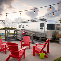
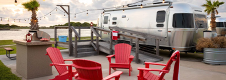
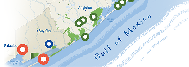
Come experience hundreds of acres of wetland marshes, river edge, and coastline of the Matagorda Peninsula, which formed as a result of rerouting the mouth of the Colorado River for shipping and flood control. Stay in a classic Airstream Camper overlooking the Colorado River and spend your days lounging on the quiet beaches or paddling the marshes.
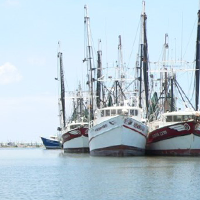
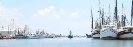
Called the shrimp capital of Texas, Palacios is home to a fishing, oystering, and shellfish industry. Stand at the Marina and look out over the bay where shrimp boats bring in their catch in season. Since the first protective legislation in 1900, balancing human consumption and the health of marine resources has been ongoing. More frequent and extreme weather events are taxing marine ecosystems further, and many collaborators across the region are working to support this vital resource.
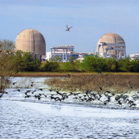
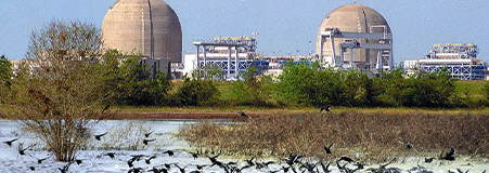

Make your way along FM 521 to enjoy sweeping vistas and roadsides lined with wildflowers. Note the curious juxtaposition of the STP Nuclear-Power Plant in its seemingly wild surroundings, as well as the wind farms in the vast, wide open landscape.
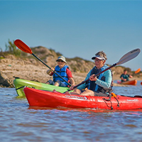
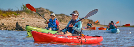

See where the Colorado River meets the Gulf of Mexico! Join one of the Park’s guided adventure tours or enjoy a peaceful paddle through acres of coastal wetlands—a critical natural buffer helping to protect these coastal communities from extreme weather events.
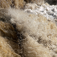
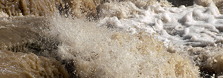
You might be surprised that along the Upper Texas Gulf Coast, murky is good! Rather than pollution, the cloudy brown color represents sediment emptied into the bays and the Gulf of Mexico by numerous bayous and rivers, including the Brazos, Colorado, Sabine and even the Mighty Mississippi, and indicates the presence of nutrients and minerals which support the abundant marine life!
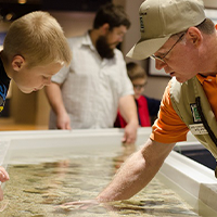
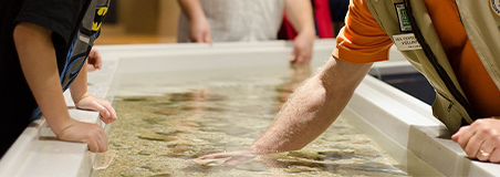
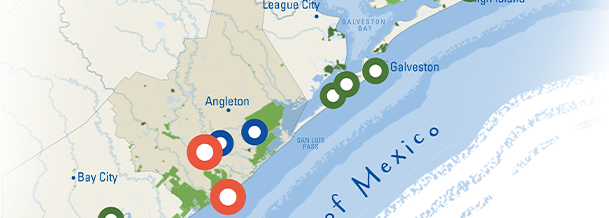
Discover the richness of the region's marine life and habitats at Sea Center Texas. Initially established to reduce the impacts of overfishing in the region, the center also provides critical support for the recovery of fisheries from more frequent extreme weather events and rising ocean temperatures. Kids will love the “touch tank” and watching the shark, giant grouper, and stingrays swim around the giant aquarium.
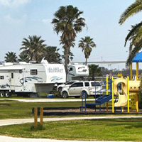
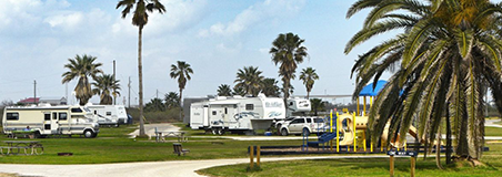
This beachfront park features 6-miles of natural coastline, with campsites and picnic areas, set against the backdrop of steel pipes and columns of petrochemical plants. As you explore the shoreline you may see the results of dune restoration projects—efforts to offset the severe and accelerating beach erosion in the area.
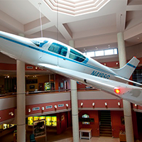
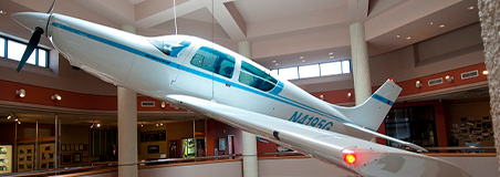

Come here to interact with the history of the petrochemical industry in the area. This industry, led by Dow Chemical who literally built Lake Jackson from the ground up, has brought immense economic security to the region and delivers significant benefits to consumers the world over. They are responsible for much of the area’s development, and are also the force behind many major restoration and conservation projects.
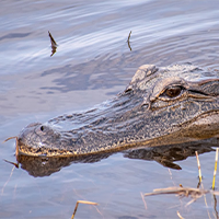
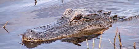

This refuge—nearly half of which was once owned by Texaco—is 46,000 acres of varied coastal wetland habitats that sustain over 300 species of native and migratory birds. Hike the trails, stroll the boardwalks, or cool down in the air-conditioned discovery center while you learn more about the native habitats on display.
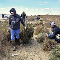
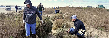
After the holidays, neighbors from across the Brazoria County coastline come together with their retired Christmas trees in tow. They fasten the recycled evergreens into the sand, to rebuild the natural dune barriers that protect the coast from storm surges and powerful waves.
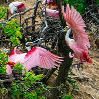
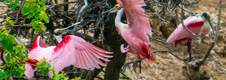
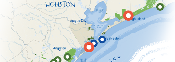
After being heavily used by pioneers and industry for over a century, High Island’s oak mottes, ponds, wetlands and coastal prairie have been restored and present lushly vegetated habitat supporting many species. The vital importance of these habitats are especially visible during the migratory season, when extraordinary numbers of neotropical birds descend on the site due to its higher elevation atop a salt dome. Stroll the canopy walkway and experience the resilience of nature and its recovery!
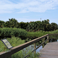
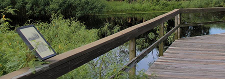
Representing a compromise between the developer and the community, Lafitte’s Cove is a subdivision built within natural wetlands and a prominent oak motte. Today, local landowners work to preserve the wetlands and canals around their homes, as well as maintain the preserve that is one of the best places to see migrating songbirds on the Texas coast. Pack a picnic and enjoy an unhurried walk along the quiet, meandering trails.
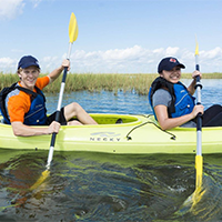
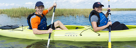

Drive down Settegast Road to see the coastal preserve and public Bird Observatory maintained by the nonprofit, Artist Boat. Sign up for one of their Public Eco-Art Kayak Adventures to learn more about the native coastal ecosystem and how to help protect it.
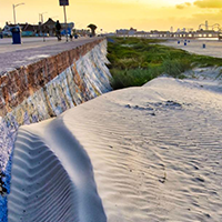
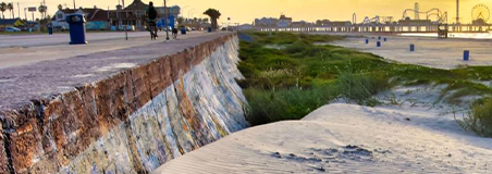

This 17-foot high barrier, which runs 10 miles along the shoreline, was built to safeguard the Island after the 1900 storm, still the largest US loss of life due to a natural disaster. Today, the iconic seawall is a busy site for shops, restaurants, bars and beachgoers, as well as 70 benches featuring hand painted tiles that interpret the ecology, economy, and history of the Texas Coast—a great place to walk or people watch!
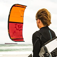
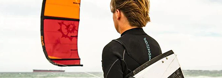
Looking for an adventure? Try out kiteboarding! The Texas City dike and Galveston Island create a flat, shallow expanse of water, perfect for beginners in kitesurfing and windsurfing. Stop at the nearby Houston Kiteboarding shop for rentals and lessons.
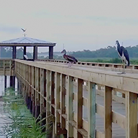
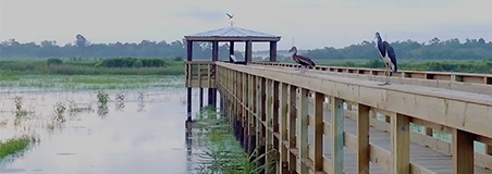
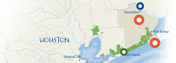
Constructed by the Beaumont Public Utilities Department as a natural wastewater treatment system, this innovative approach to water treatment illustrates the dynamism of sustainable development. Miles of trails through wetlands and a marsh boardwalk makes this the perfect place for a tranquil hike, bike, or jog, and a fabulous birding spot as well!
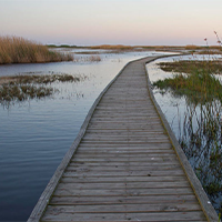
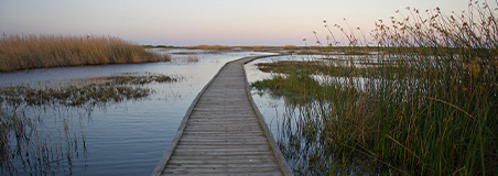
Drive down Hwy 87 and experience the curious juxtaposition of refineries on one side and a vast natural wildlife refuge and management areas on the other. Funds from the oil and gas industry, including fines from the BP oil spill, are used to restore and maintain this critical wildlife habitat. Once at the park, rent a kayak for a peaceful paddle through the inland marshes or hike the dune boardwalk trail to the Gulf of Mexico.
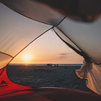


For a remote, peaceful getaway, camp at one of the park’s 15 full-service campsites, rent a cabin, or even camp directly on the beach! Bring a fishing pole, binoculars, and plenty of mosquito repellent to fully enjoy this stunning environment.
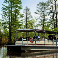
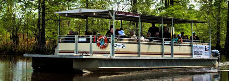

Appreciate the extraordinary plant and animal diversity along the Neches River aboard the Ivory Bill! This unhurried boat trip allows you to view the changing ecosystems as you learn the history of the river and the significance of the habitats it helps support.
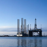
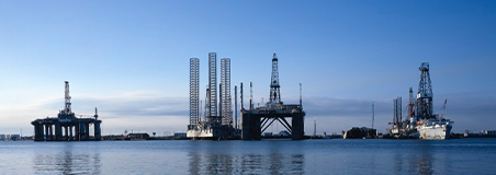
Though offshore oil rigs have an imposing and unnatural presence above water, underwater they serve as vertical reefs and sanctuaries for millions of plants and animals. As oil extraction moves inland, these important habitats are being lost. The Sabine Pass Port Authority—with the help of large industries, community members, and conservationists—have come together to create 160-acres of new artificial reef near Sabine Pass.


